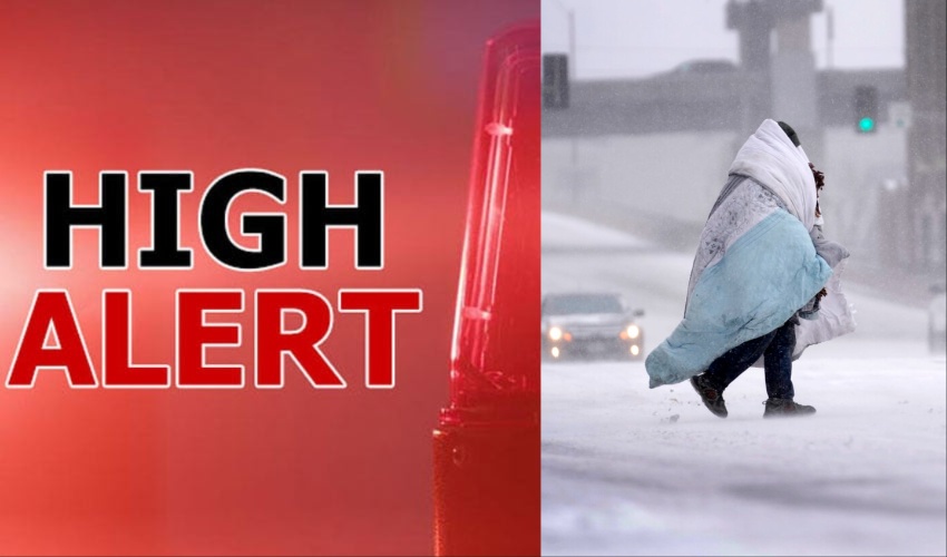
Millions of Americans are preparing for what could be the most severe snowstorm in a decade, with record-breaking snowfall and freezing temperatures expected to affect large parts of the country due to the Antarctic surge.
The National Weather Service (NWS) has warned that the storm, currently centered in the Midwest, is set to intensify and move eastward in the coming days.
This extreme weather event is attributed to the polar vortex, a large area of cold air that usually circulates around the Arctic but has unusually shifted south.
“This could be the heaviest snowfall in over a decade for some regions,” said the National Oceanic and Atmospheric Administration (NOAA), while meteorologist Dan DePodwin of AccuWeather predicted that this could be the coldest January in the US since 2011.
Dangerous Cold and Heavy Snowfall
Parts of Kansas and Indiana are forecast to receive at least 20cm (8 inches) of snow, with blizzard conditions expected to create “whiteouts” and “impossible driving conditions,” according to the NWS. The Midwest is bracing for significant disruptions, including road closures and the risk of stranded motorists.
As the storm moves east, cities like Washington, DC, Philadelphia, and Baltimore are preparing for snowfalls of up to 30cm (12 inches) and subzero temperatures.
Weather Preparedness
Meteorologists have warned that this storm could bring severe conditions even to the southern states like Mississippi and Florida, where cold temperatures are less common. Severe thunderstorms are also predicted in Arkansas, Louisiana, and Mississippi by Sunday.
“This storm has the potential to be a disaster,” said private meteorologist Ryan Maue. “It’s something we haven’t seen in quite a while.”


