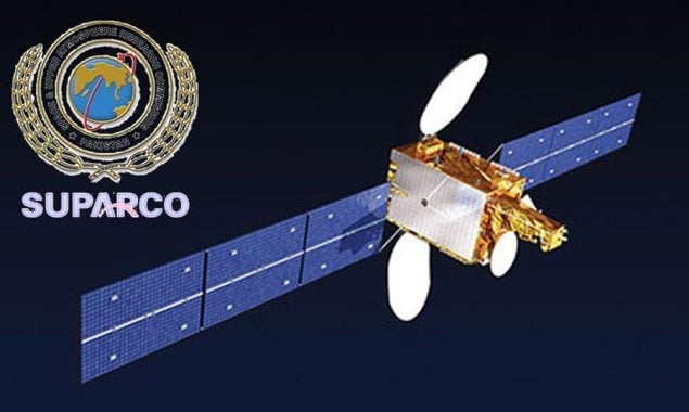
Pakistan is poised to enter a new chapter in its space exploration journey, with the launch of its first hyperspectral remote sensing satellite (HS-1) from China on October 19, according to the Space and Upper Atmosphere Research Commission (SUPARCO).
The HS-1 satellite — equipped with cutting-edge data calibration and hyperspectral imaging systems — will enable Pakistan to observe the Earth’s surface in unprecedented detail, marking a major leap in the nation’s pursuit of space-based self-reliance under Vision 2047.
🌍 Transformative Applications
SUPARCO officials said the satellite would revolutionize agriculture, environmental monitoring, and disaster management.
Through precision agriculture, HS-1 can help farmers increase crop yields by up to 15–20 percent by monitoring soil health, water usage, and vegetation stress in real time.
The satellite will also assist in predicting floods, landslides, wildfires, and monitoring climate change, providing valuable data for national emergency planning.
🛰️ Strategic Leap Toward Space Autonomy
Experts believe HS-1 represents a technological milestone in Pakistan’s journey toward space autonomy.
Its data will support urban planning, infrastructure mapping, geological surveys, and environmental protection— sectors increasingly dependent on high-resolution earth observation.
A SUPARCO spokesperson described the mission as the dawn of a new era:
“HS-1 is the first step toward a future where Pakistan can independently harness space-based data for development, resilience, and sustainability.”
The launch also deepens Pakistan-China collaboration in advanced space technology, underscoring the strategic partnership between the two nations in high-tech innovation.


